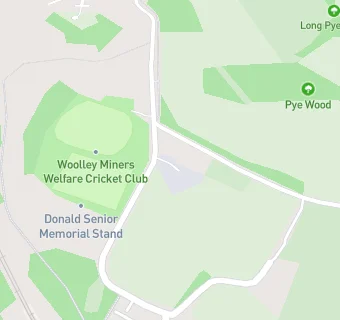
Woolley Miners Welfare Scheme
Woolley Miners Welfare Scheme
Miners Welfare Institute
Woolley Colliery Road
Darton
S755JADarton
Food rating:
★★★★
4/5 stars
Updated:
Food rating:
★★★★
4/5 stars
Updated:
See all Bars & Nightclubs in Barnsley.