BLOCLEats

World's End

Public House
21-23 Stroud Green Road
London
N43EF

Food rating: ★★★★★ 5/5 stars
Updated: 22. August 2023

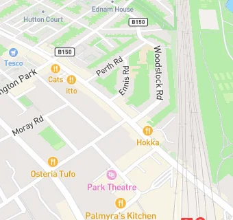
map for World's End

Near World's End

  1. Bars & Nightclubs
  2. 0.1 miles★★★★★The Faltering Fullback, N43HB
  3. 0.1 miles★★★★★Park Tavern Public House, N43AD
  4. 0.1 miles★★★★★W. B. Yeats, N43HU
  5. 0.2 miles★★★★★The White Lion, N43PX
  6. 0.2 miles★★★★★Orleans Bar, N42DD
  7. 0.2 miles★★★★★The Twelve Pins, N42DE
  8. 0.2 miles★★★★★Blackstock Public House, N42HY
  9. 0.2 miles★★★★★The Night Owl Finsbury Park, N42DH
  10. Restaurants & Cafés
  11. ★★★★★Red Dog Saloon@World's End, N43EF
  12. ★★★★★Angels Cafe, N43ES
  13. ★★★★★Crisis, N43FB
  14. ★★★★★AYAT V Cafe, N43EA
  15. Retail Stores
  16. Finsbury Local Ltd, N43EA
  17. ★★K M Butchers, N43EF
  18. School Food Ratings
  19. ★★★★★Baxterstorey, N43TD
  20. Chemists
  21. Roger Davies Pharmacy, N43EF
  22. Schools Nursery
  23. 0.2 milesNorth Islington Nursery School, N43RB (108 pupils)
  24. Schools Primary
  25. 0.2 milesStroud Green Primary School, N43EX (432 pupils)
  26. 0.2 milesPooles Park Primary School, N43NW
  27. 0.3 milesChrist The King Catholic Primary School, N43QW (253 pupils)
  28. Schools Secondary
  29. 0.3 milesArts and Media School Islington, N43LS (630 pupils)

See all Bars & Nightclubs in London.