BLOCLEats

Worsbrough Sports & Development Association

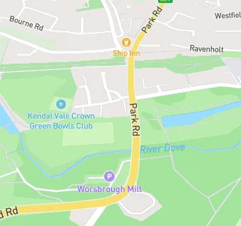
Worsbrough Sports And Development Association
Park Road
Worsbrough
S705LJ

Food rating: ★★★★★ 5/5 stars
Updated: 7. November 2018

map for Worsbrough Sports & Development Association

Near Worsbrough Sports …

  1. Bars & Nightclubs
  2. ★★★★★Red Lion Country Inn, S705LJ
  3. 0.2 miles★★★★★The Ship Inn, S705BA
  4. 0.4 miles★★★★★Barrow W M C, S705EX
  5. 0.5 miles★★★★Edmunds Arms, S705LW
  6. 0.6 miles★★★★★Dale Tavern, S705PG
  7. 0.6 miles★★★The Darley Inn, S704SE
  8. 0.6 miles★★★★★The Boatmans Rest, S704TD
  9. 0.7 miles★★★★★Ward Green W M C, S704HH
  10. Care Facilities
  11. 0.2 miles★★★★★Growing Wild Outdoor Nursery, S705NQ
  12. Manufacturers
  13. ★★★★★Worsbrough Mill Museum, S705LJ
  14. Restaurants & Cafés
  15. ★★★★★Millers Tea Room, S705LJ
  16. 0.2 miles★★★★★Wigfield Farm, S705NQ
  17. 0.2 miles★★★★★The Cowshed Cafe And Farm Shop,
  18. Retail Stores
  19. 0.3 milesM & S Fearons, S705AB
  20. Chemists
  21. 0.4 milesLo's Pharmacy, S705PA
  22. Dentists
  23. 0.3 milesWorsbrough Dental Practice, S705AD
  24. Schools Primary
  25. 0.5 milesThe Mill Academy, S705EP (216 pupils)
  26. 0.6 milesWard Green Primary School, S705HJ (408 pupils)
  27. 0.9 milesBank End Primary Academy, S704AZ (221 pupils)
  28. 1.0 mileWorsbrough Common Primary School, S704EB (392 pupils)
  29. Schools Secondary
  30. 1.0 mileBarnsley Academy, S703DL (919 pupils)

See all Bars & Nightclubs in Barnsley.