Aber Infants School closed
Aber Infants School
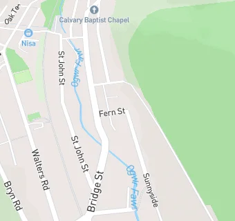
Fern Street
Ogmore Vale
Ogmore Vale
Wales
CF327APOgmore Vale
Wales
Welsh establishment
- URN
- 401025
- Establishment type
- Welsh establishment
- Establishment #
- 2048
- OSGB coordinates
- Easting: 293405, Northing: 189893
- GPS coordinates
- Latitude: 51.598, Longitude: -3.5404
- Region › Const. › Ward
- Wales › Ogmore › Ogmore Vale