Acorn School closed 22. January 1992
Acorn School
British School Building
Slad Road
Stroud
Gloucestershire
England
GL51QWStroud
Gloucestershire
England
Other independent school
- URN
- 128973
- Establishment type
- Other independent school
- Establishment #
- 6069
- Close date
- 22. January 1992
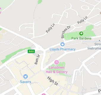
- OSGB coordinates
- Easting: 385136, Northing: 205397
- GPS coordinates
- Latitude: 51.747, Longitude: -2.2167
- Accepting pupils
- 4—18 years old
- Boarders
- No boarders
- Region › Const. › Ward
- South West › Stroud › Stroud Valley