All Saints Church of England Primary School, Stand
All Saints Church of England Primary School, Stand
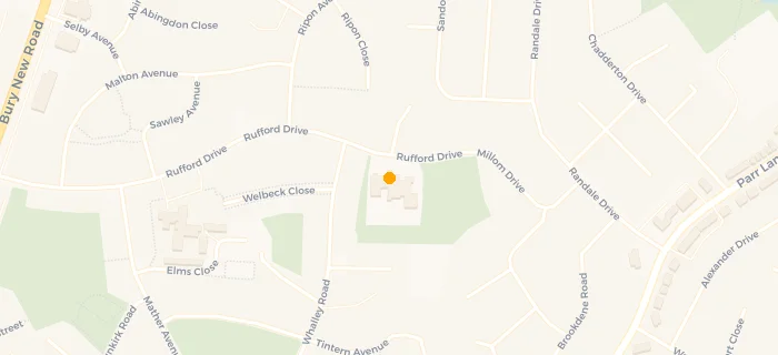
Rufford Drive
Whitefield
Whitefield
England
M458PLWhitefield
England
📞 phone: 01617 963392
👩🏫 headteacher: Mrs Michaela Farrell
🌍 web: www.allsaintscoepswhitefield.co.uk
Last updated:
Primary — Voluntary controlled school
- URN
- 105325
- Education phase
- Primary
- Religious character
- Church of England
- Establishment type
- Voluntary controlled school
- Establishment #
- 3017
- OSGB coordinates
- Easting: 381033, Northing: 406664
- GPS coordinates
- Latitude: 53.556, Longitude: -2.2878
- Geom
- SRID=4326;POINT (-2.28778 53.556253)
- Accepting pupils
- 3—11 years old
- Boarders
- No boarders
- Census date
- 18 Jan 2024
- Ofsted last inspection
- 22 Mar 2023
- Diocese
- Diocese of Manchester
- Region › Const. › Ward
- North West › Bury South › Unsworth
- Free school meals %
- 14.50
- Learning provider ref #
- 10068587
School governors
- Mr John Fraser, Governor
· — - Miss Fazeela Helling, Governor
· — - Mrs Emily Druce, Governor
· — - Mrs Joanne Morris, Governor
· — - Mrs Suzanne Ross, Governor
· — - Mr John McGrath, Chair of Governors
· — - Mrs Abigail Madden, Governor
· — - Mrs Petra Higgins-Weate, Governor
· — - Mrs Elizabeth Binns, Governor
· — - Mrs Susan Orrell, Governor
· —