Ashmount Infant School closed 31. August 2001
redirecting to
Ashmount Primary School
Ashmount Infant School
Ashmount Road
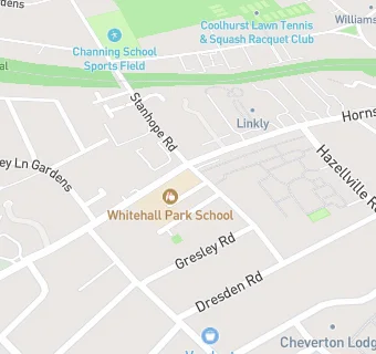
Hornsey Lane
London
England
N193BHLondon
England
headteacher: S Gulliford
Primary — Community school
- URN
- 100433
- Education phase
- Primary
- Establishment type
- Community school
- Establishment #
- 2824
- Close date
- 31. August 2001
- OSGB coordinates
- Easting: 529455, Northing: 187610
- GPS coordinates
- Latitude: 51.573, Longitude: -0.13341
- Accepting pupils
- 3—7 years old
- Boarders
- No boarders
- Region › Const. › Ward
- London › Islington North › Hillrise