Beadles Lane First School closed 31. August 1993
Beadles Lane First School
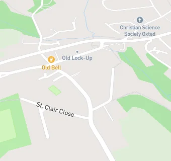
Beadles Lane
Old Oxted
Oxted
Surrey
England
RH89JGOxted
Surrey
England
Primary — Community school
- URN
- 130053
- Education phase
- Primary
- Establishment type
- Community school
- Establishment #
- 2455
- Close date
- 31. August 1993
- OSGB coordinates
- Easting: 538602, Northing: 152123
- GPS coordinates
- Latitude: 51.251, Longitude: -0.015360
- Accepting pupils
- 4—7 years old
- Boarders
- No boarders
- Region › Const. › Ward
- South East › East Surrey › Oxted North and Tandridge