Benthal Primary School Infant Department closed - result of amalgamation/merger 31. August 2006
redirecting to
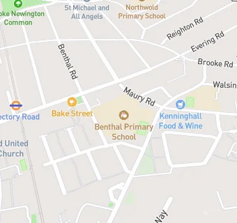
Benthal Primary School
Benthal Primary School Infant Department
Benthal Road
Hackney
England
N167AUEngland
👩🏫 headteacher: Mrs Marion Whipps
Primary — Community school
- URN
- 100217
- Education phase
- Primary
- Establishment type
- Community school
- Establishment #
- 2044
- Close date
- 31. August 2006
- Reason closed
- Result of Amalgamation/Merger
- OSGB coordinates
- Easting: 534224, Northing: 186153
- GPS coordinates
- Latitude: 51.558, Longitude: -0.065188
- Accepting pupils
- 3—7 years old
- Boarders
- No boarders
- Region › Const. › Ward
- London › Hackney North and Stoke Newington › Hackney Downs