Charnwood College (Upper) closed - result of amalgamation/merger 31. July 2016
redirecting to
Charnwood College
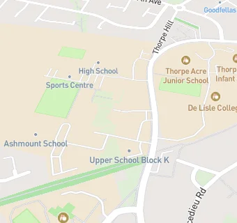
Charnwood College (Upper)
Thorpe Hill
Loughborough
Leicestershire
England
LE114SQLeicestershire
England
👨🏫 principal: Mr Mark Sutton
Secondary — Academy converter
- Admissions policy
- Non-selective
- Sixth form
- Has a sixth form
- URN
- 141894
- Education phase
- Secondary
- Establishment type
- Academy converter
- Establishment #
- 4002
- Open date
- 1. April 2015
- Close date
- 31. July 2016
- Reason open
- Academy Converter
- Reason closed
- Result of Amalgamation/Merger
- OSGB coordinates
- Easting: 451360, Northing: 319420
- GPS coordinates
- Latitude: 52.770, Longitude: -1.2402
- Accepting pupils
- 14—18 years old
- Region › Const. › Ward
- East Midlands › Loughborough › Loughborough Garendon
- Learning provider ref #
- 10049302