Near Coleshill Heath …
- Schools Primary
- 0.3 milesColeshill Heath School, B377PY (549 pupils)
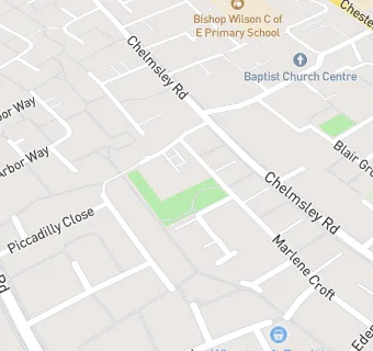
- 0.3 milesBishop Wilson Church of England Primary School, B377TR (430 pupils)
- 0.4 milesWindy Arbor Primary School, B376RN (422 pupils)
- 0.8 milesSt Anne's Catholic Primary School, B375DP (446 pupils)
- 1.0 mileFordbridge Community Primary School, B375BU (559 pupils)
- 1.0 mileMarston Green Junior School, B377BA (349 pupils)
- 1.1 milesMarston Green Infant Academy, B377AA (372 pupils)
- 1.3 milesSt Anthony's Catholic Primary School, B376LW (254 pupils)
- 1.6 milesSt Edward's Catholic Primary School, B463JE (230 pupils)
- Schools
- 1.4 milesWoodlands, B463JE (215 pupils)
- Schools Secondary
- 0.7 milesWMG Academy for Young Engineers (Solihull), B375FD (451 pupils)
- 1.1 milesJohn Henry Newman Catholic College, B375GA (1306 pupils)
- 1.1 milesGrace Academy Solihull, B375JS (879 pupils)
- 1.1 milesTudor Grange Academy Kingshurst, B376NU (1198 pupils)
- 1.3 milesThe Coleshill School, B463EX (1226 pupils)
- Care Facilities
- ★★★★★Woodland Trails Day Nursery, B377JT
- 0.2 miles★★★★★Mencap, B377LD
- 0.2 miles★★★★★Chelmunds Court Nursing Home, B377WB
- 0.2 miles★★★★Communal Home, B377JN
- 0.2 miles★★★★★Royal Mencap, B377JN
- Chemists
- 0.2 milesCroft Pharmacy, B377TW
- Doctors
- 0.2 milesCroft Medical Centre, B377WB
- 0.2 miles Croft Medical Centre, B377WB
- Bars & Nightclubs
- 0.2 miles★★★★★The Arches, B377NP
- Restaurants & Cafés
- 0.2 miles★★★★★Nourish, B377TP
- Retail Stores
- 0.1 miles★★★★★Wheatcroft Food Stores, B377LN
- 0.2 miles★★★Sunny Supermarket, B377ST
- 0.2 miles★★★★★Tiwana Supermarket, B377QG
- 0.2 miles★★★★★Arbor Way Convenience Store, B377LA
- School Food Ratings
- 0.2 miles★★★★★John Henry Newman Catholic College, B375GA
See all schools in Birmingham