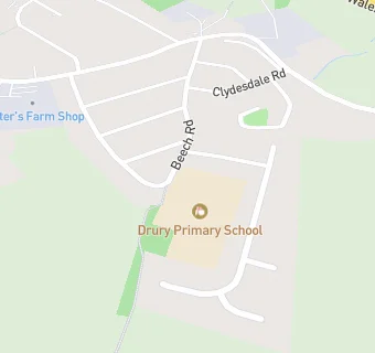
BLOCLSchools

Drury C.P. School

Drury C.P. School
Beech Road
Drury
Buckley
Wales
CH73EG

📞 phone: 01244 543005

Your feedback   +


Welsh establishment

URN
400364
Establishment type
Welsh establishment
Establishment #
2089
OSGB coordinates
Easting: 329694, Northing: 364216
GPS coordinates
Latitude: 53.170, Longitude: -3.0532
Region › Const. › Ward
Wales › Alyn and Deeside › Buckley: Pentrobin
map for Drury C.P. School

Schools nearby

  1. Drury C.P. School, CH73EG
  2. 0.8 miles Mountain Lane C.P. School, CH73JA
  3. 0.9 miles St Johns the Baptist V.A. Primary School, CH40EN
  4. 1.1 miles Ysgol Belmont, CH73HA
  5. 1.2 miles Westwood Community Primary School, CH72JT
  6. 1.2 miles Elfed High School, CH73HQ
  7. 1.3 miles Hawarden High School, CH53DJ
  8. 1.5 miles Ewloe Green C.P. School, CH53AU
  9. 1.5 miles Penyffordd Junior School, CH40LQ
  10. 1.5 miles Buckley Southdown C.P., CH72NP
  11. 1.6 miles Hawarden C.P. Infants, CH53PY
  12. 1.6 miles Penarlag C.P. School, CH53RQ
  13. 1.7 miles Rector Drew V.A. School, CH53PY
  14. 1.9 miles Abbots Lane C.P. School, CH40HW
  15. 2.1 miles Argoed High School, CH76RY
  16. 2.3 miles The Croft Nursery School, CH51NF
  17. 2.3 miles Wat's Dyke Infants School, CH76UL
  18. 2.3 miles St Ethelwold's Primary School, CH51NG
  19. 2.4 miles Mynydd Isa Junior School, CH76SJ
  20. 2.5 miles Wepre C.P. School, CH54NE
  21. 2.6 miles Sandycroft C.P. School, CH52EH
  22. 2.6 miles Queens Ferry C.P. School, CH51JD
  23. 2.6 miles John Summers High School, CH51JD
  24. 2.7 miles Taliesin Junior School, CH51HP
  25. 2.7 miles Ysgol Y Bryn, CH51EA

🚸 schools in Buckley