Near Ealing Green …
- Schools Secondary
- 0.8 milesAda Lovelace Church of England High School, W52JX (961 pupils)
- Schools
- 0.1 milesClifton Lodge School, W55BG (116 pupils)
- 0.1 milesEaling Independent College, W55AL (115 pupils)
- 0.3 milesUniversity of West London, W55RF
- 0.4 milesLa Chouette School, W54HN (29 pupils)
- 0.5 milesDurston House School, W52DR (393 pupils)
- 0.5 milesBlooming Tree Primary School, W53TJ (19 pupils)
- 0.6 milesInsights Independent School, W130NP (63 pupils)
- 0.7 milesSt Benedict's School, W52ES (1106 pupils)
- 0.7 milesAvenue House School, W138LS (85 pupils)
- Schools Primary
- 0.3 milesChrist the Saviour Church of England Primary School, W52AA (894 pupils)
- 0.4 milesGrange Primary School, W54HN (717 pupils)
- 0.7 milesSt John's Primary School, W130SE (469 pupils)
- 0.8 milesMount Carmel Catholic Primary School, W54EA (422 pupils)
- 0.8 milesDrayton Green Primary School, W130LA (369 pupils)
- Care Facilities
- 0.1 miles★★★★★Grange Montessori, W55QN
- Restaurants & Cafés
- ★★★★★Bella Puglia Cafe, W55EQ
- 0.1 miles★★★★Yori Ealing, W55DA
- 0.1 miles★★★★Amorino, W55DA
- 0.1 miles★★★★★The Grindhouse @ Met Film School, W55EP
- 0.1 miles★★★★★Osteria Del Portico, W55DA
- 0.1 miles★★★★★La Rueda Tapas Bar, W55AA
- 0.1 miles★★★★★Park's Kitchen, W55DA
- 0.1 miles★★★★★Bobo Social, W55FA
- 0.1 miles★★★★★Three Uncles, W55FA
- Retail Stores
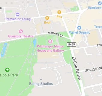
- 0.1 miles★★★★★Planet Organic, W55DB
- School Food Ratings
- Znaniye Foundation @ Ealing Green College, W55EW
- ★★★★★Aramark @ Ealing Green College, W55EW
- 0.1 miles★★★★★Thomas Franks At Clifton Lodge Preparatory School, W55BG
- Takeaway Shops
- 0.1 miles★★★★★Beehive, W55DA
See all schools in Ealing