BLOCLSchools

Ellerslie School closed 20. October 1992

Ellerslie School
Leicester Road
Loughborough
Leicestershire
England
LE112AE

Your feedback   +


Other independent school

URN
129099
Establishment type
Other independent school
Establishment #
6069
Close date
20. October 1992
OSGB coordinates
Easting: 453811, Northing: 319477
GPS coordinates
Latitude: 52.770, Longitude: -1.2039
Boarders
No boarders
Region › Const. › Ward
East Midlands › Loughborough › Loughborough Southfields
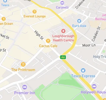
map for Ellerslie School

Schools nearby

  1. Ellerslie School, LE112AE
  2. 0.1 miles ASPIRE: Lifeskills, LE113EB (23 pupils)
  3. 0.2 miles Cobden Primary School & Community Centre, LE111AF
  4. 0.2 miles Fairfield Prep School, LE112AE (519 pupils)
  5. 0.2 miles Trinity College, LE111BA (14 pupils)
  6. 0.2 miles Cobden Primary School & Community Centre, LE111AF (366 pupils)
  7. 0.3 miles Loughborough High School, LE112DU (518 pupils)
  8. 0.4 miles Limehurst High School, LE111NH
  9. 0.4 miles Loughborough Amherst School, LE112DZ (428 pupils)
  10. 0.4 miles Loughborough Grammar School, LE112DU (870 pupils)
  11. 0.4 miles Limehurst Academy, LE111NH (616 pupils)
  12. 0.5 miles Rendell Primary School, LE111LL
  13. 0.5 miles Saint Mary's Catholic Primary School, Loughborough, LE115AX
  14. 0.5 miles Saint Mary's Catholic Primary School, Loughborough, LE115AX (197 pupils)
  15. 0.5 miles Rendell Primary School, LE111LL (378 pupils)
  16. 0.6 miles Loughborough Church of England Primary School, LE113BY
  17. 0.6 miles Sense College Loughborough, LE113BS
  18. 0.6 miles Loughborough Church of England Primary School, LE113BY (203 pupils)
  19. 0.7 miles Mountfields Lodge School, LE113GE
  20. 0.7 miles Rosebery Primary School, LE115DX
  21. 0.7 miles Shelthorpe Community School, LE112NF
  22. 0.7 miles Loughborough College, LE113BT
  23. 0.7 miles Student Support Centre, RM113XX
  24. 0.7 miles Student Support Centre, LE115DZ
  25. 0.7 miles Beacon Academy, LE112NF (309 pupils)

🚸 schools in Loughborough