- Blocl
- Schools
- Bracknell Forest
- Bracknell
Harmans Water Junior School
closed
31. August 1996
redirecting to
Harmans Water Primary School
Your feedback +
Primary —
Community school
- URN
- 109808
- Education phase
- Primary
- Establishment type
- Community school
- Establishment #
- 2061
- Close date
- 31. August 1996
- OSGB coordinates
- Easting: 488169, Northing: 167962
- GPS coordinates
- Latitude: 51.404, Longitude: -0.73386
- Accepting pupils
- 7—11 years old
- Boarders
- No boarders
- Region › Const. › Ward
- South East › Bracknell › Harmans Water
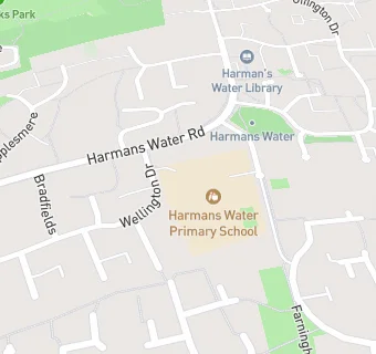
Schools nearby
- Harmans Water Junior School,
RG129NE
- Harmans Water Infant School,
RG129NE
- Harmans Water Primary School,
RG129NE
(496 pupils)
-
0.5
miles Crown Wood Primary School,
RG120PE
(583 pupils)
-
0.5
miles Crown Wood Primary School,
RG120PE
(591 pupils)
-
0.7
miles Ranelagh School,
RG129DA
-
0.7
miles Ranelagh School,
RG129DA
(1084 pupils)
-
0.8
miles Fox Hill Primary School,
RG127JZ
(227 pupils)
-
0.8
miles Holly Spring Junior School,
RG122SW
(313 pupils)
-
0.8
miles Holly Spring Primary School,
RG122SW
(619 pupils)
-
0.8
miles St Joseph's Catholic Primary School, Bracknell,
RG129AP
(212 pupils)
-
0.8
miles The Brakenhale School,
RG127BA
-
0.8
miles The Brakenhale School,
RG127BA
(1217 pupils)
-
0.9
miles Adastron House Pupil Referral Unit,
LU61NH
-
1
mile Bracknell and Wokingham College,
RG121DJ
-
1.1
miles St Michael's Easthampstead Church of England Voluntary Aided Primary School,
RG127EH
(233 pupils)
-
1.1
miles Church Hill House Hospital School,
RG121SY
-
1.2
miles Birch Hill Primary School,
RG127WW
(415 pupils)
-
1.2
miles Wildridings Primary School,
RG127DX
(430 pupils)
-
1.2
miles Garth Hill College,
RG422AD
(1498 pupils)
-
1.2
miles Heathfield School,
SL58BQ
(225 pupils)
-
1.2
miles Wildridings County Junior School,
RG127DX
-
1.2
miles Wildridings Infant School,
RG127DX
-
1.2
miles Include - Thames Valley,
RG127WW
(12 pupils)
-
1.4
miles Sandy Lane Junior School,
RG122JG
🚸
schools in Bracknell