Heol Y Cyw Primary School closed 31. August 2011
Heol Y Cyw Primary School
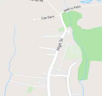
High Street
Heolycyw
Bridgend
Heol-y-Cyw
Wales
CF356HYBridgend
Heol-y-Cyw
Wales
Welsh establishment
- URN
- 401037
- Establishment type
- Welsh establishment
- Establishment #
- 2136
- Close date
- 31. August 2011
- Reason closed
- Closure
- OSGB coordinates
- Easting: 294541, Northing: 184410
- GPS coordinates
- Latitude: 51.549, Longitude: -3.5223
- Region › Const. › Ward
- Wales › Ogmore › Penprysg
