High Pavement Sixth Form College closed 1. April 1999
redirecting to
Nottingham College
High Pavement Sixth Form College
Gainsford Crescent
Nottingham
Nottinghamshire
England
NG55HTNottinghamshire
England
👩🏫 principal: Mrs N Honey
16 plus — Further education
- URN
- 130786
- Education phase
- 16 plus
- Establishment type
- Further education
- Establishment #
- 8600
- Close date
- 1. April 1999
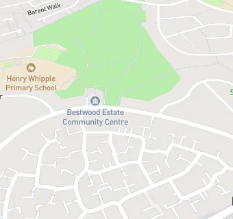
- OSGB coordinates
- Easting: 456058, Northing: 344491
- GPS coordinates
- Latitude: 52.995, Longitude: -1.1663
- Accepting pupils
- 16—99 years old
- Region › Const. › Ward
- East Midlands › Nottingham North › Bestwood