Higher Folds Primary School closed - result of amalgamation/merger 31. August 2011
redirecting to
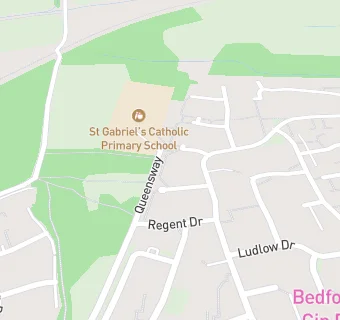
St Gabriel's Catholic Primary School
Higher Folds Primary School
Queensway
Higher Folds
Leigh
Lancashire
England
WN72XGLeigh
Lancashire
England
👩🏫 executive headteacher: Mrs M E Naylon
Primary — Community school
- URN
- 106423
- Education phase
- Primary
- Establishment type
- Community school
- Establishment #
- 2041
- Close date
- 31. August 2011
- Reason closed
- Result of Amalgamation/Merger
- OSGB coordinates
- Easting: 367899, Northing: 401179
- GPS coordinates
- Latitude: 53.506, Longitude: -2.4855
- Accepting pupils
- 3—11 years old
- Boarders
- No boarders
- Region › Const. › Ward
- North West › Leigh › Leigh East