Howell's School closed 3. September 2013
Howell's School
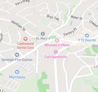
Park Street
Denbigh
Denbighshire
Denbigh
Wales
LL163LNDenbighshire
Denbigh
Wales
Welsh establishment
- URN
- 401975
- Establishment type
- Welsh establishment
- Establishment #
- 6021
- Close date
- 3. September 2013
- Reason closed
- Closure
- OSGB coordinates
- Easting: 305021, Northing: 366034
- GPS coordinates
- Latitude: 53.183, Longitude: -3.4227
- Region › Const. › Ward
- Wales › Vale of Clwyd › Denbigh Upper/Henllan