John Nightingale School closed 31. August 2000
John Nightingale School
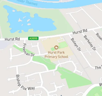
Hurst Road
West Molesey
Surrey
England
KT89QSSurrey
England
👩🏫 headteacher: Ms F Lettington
Community special school
- Special classes
- Has Special Classes
- URN
- 125479
- Establishment type
- Community special school
- Establishment #
- 7064
- Close date
- 31. August 2000
- OSGB coordinates
- Easting: 512800, Northing: 168500
- GPS coordinates
- Latitude: 51.404, Longitude: -0.37972
- Accepting pupils
- 11—16 years old
- Boarders
- No boarders
- Region › Const. › Ward
- South East › Esher and Walton › Molesey West