Kessingland Church of England Voluntary Controlled Primary School closed - for academy 31. August 2014
redirecting to
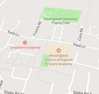
Kessingland Church of England Primary Academy
Kessingland Church of England Voluntary Controlled Primary School
Field Lane
Kessingland
Kessingland
Suffolk
England
NR337QAKessingland
Suffolk
England
👨🏫 headteacher: Mr Simon Lea
Primary — Voluntary controlled school
- URN
- 124736
- Education phase
- Primary
- Religious character
- Church of England
- Establishment type
- Voluntary controlled school
- Establishment #
- 3095
- Close date
- 31. August 2014
- Reason closed
- For Academy
- OSGB coordinates
- Easting: 652997, Northing: 286727
- GPS coordinates
- Latitude: 52.420, Longitude: 1.7193
- Accepting pupils
- 3—11 years old
- Boarders
- No boarders
- Diocese
- Diocese of Norwich
- Region › Const. › Ward
- East of England › Waveney › Kessingland