BLOCLSchools

Lough Road Class Base (Central) closed 1. September 1994

Lough Road Class Base (Central)
Lough Road
London
England
N78RH

Your feedback   +


Pupil referral unit

URN
100395
Establishment type
Pupil referral unit
Establishment #
1108
Close date
1. September 1994
OSGB coordinates
Easting: 530915, Northing: 184906
GPS coordinates
Latitude: 51.548, Longitude: -0.11336
Accepting pupils
5—18 years old
Boarders
No boarders
Region › Const. › Ward
London › Islington South and Finsbury › Holloway
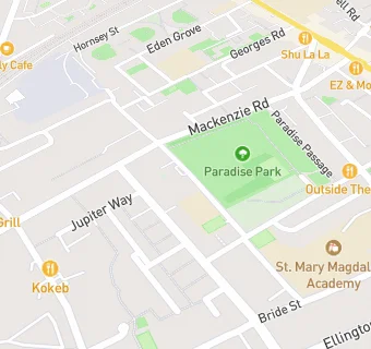
map for Lough Road Class Base (Central)

Schools nearby

  1. Lough Road Class Base (Central), N78RH
  2. 0.1 miles New River College Secondary, N78RH (36 pupils)
  3. 0.2 miles Ring Cross Primary School, N78EE
  4. 0.2 miles Sacred Heart Catholic Primary School, N78JN (459 pupils)
  5. 0.2 miles St Mary Magdalene CofE Primary School, N78PG
  6. 0.2 miles St Mary Magdalene Academy, N78PG (1459 pupils)
  7. 0.3 miles London Metropolitan University, N78DB
  8. 0.3 miles University of North London, N78DB
  9. 0.3 miles St Mary Magdalene Academy: the Courtyard, N78LT (49 pupils)
  10. 0.4 miles Special Learning Centre (Secondary Base), N79QJ
  11. 0.4 miles Drayton Park Primary School, N51PJ (290 pupils)
  12. 0.4 miles Laycock Primary School, N11SW (362 pupils)
  13. 0.4 miles Robert Blair School, N79QJ (221 pupils)
  14. 0.4 miles Special Learning Centre, N79QJ
  15. 0.4 miles Dania Scandinavian School, N51RN (26 pupils)
  16. 0.5 miles Thornhill Class Base (West), N11HX
  17. 0.5 miles Thornhill Primary School, N11HX (463 pupils)
  18. 0.6 miles Canonbury Junior School, N12UT
  19. 0.6 miles Hungerford Primary School and Children's Centre, N79LF (386 pupils)
  20. 0.6 miles Hungerford Junior School, N79LF
  21. 0.6 miles Hungerford Infant School, N79EB
  22. 0.6 miles Canonbury Primary School, N12UT (414 pupils)
  23. 0.6 miles The Bridge School, N79LD (231 pupils)
  24. 0.6 miles The Bridge Satellite Provision, N193DL (29 pupils)
  25. 0.6 miles Hungerford School, N79LF (185 pupils)

🚸 schools in London