Millbrook College closed 31. March 1991
Millbrook College
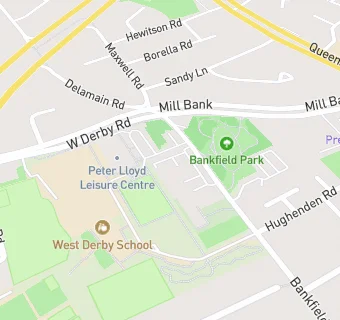
Bankfield Centre
Bankfield Road
Liverpool
Merseyside
England
L130BQLiverpool
Merseyside
England
Miscellaneous
- URN
- 133190
- Establishment type
- Miscellaneous
- Establishment #
- 8000
- Close date
- 31. March 1991
- OSGB coordinates
- Easting: 338724, Northing: 392504
- GPS coordinates
- Latitude: 53.426, Longitude: -2.9236
- Accepting pupils
- 16—99 years old
- Boarders
- No boarders
- Region › Const. › Ward
- North West › Liverpool, West Derby › Tuebrook and Stoneycroft