Mount Nod Primary School closed 1. September 1999
redirecting to
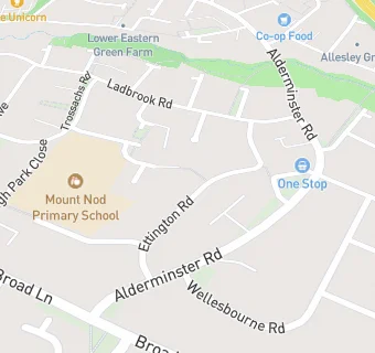
Mount Nod Primary School
Mount Nod Primary School
Ettington Road
Off Broad Lane
Coventry
West Midlands
England
CV57LDCoventry
West Midlands
England
Primary — Community school
- URN
- 103661
- Education phase
- Primary
- Establishment type
- Community school
- Establishment #
- 2082
- Close date
- 1. September 1999
- OSGB coordinates
- Easting: 429147, Northing: 279387
- GPS coordinates
- Latitude: 52.412, Longitude: -1.5729
- Accepting pupils
- 5—11 years old
- Boarders
- No boarders
- Region › Const. › Ward
- West Midlands › Coventry North West › Woodlands