Oakdale Comprehensive School closed - result of amalgamation/merger 31. August 2016
Oakdale Comprehensive School
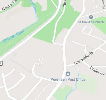
Penmaen Road
Oakdale
Blackwood
Risca
Wales
NP120DTBlackwood
Risca
Wales
Welsh establishment
- Sixth form
- Has a sixth form
- URN
- 401833
- Establishment type
- Welsh establishment
- Establishment #
- 4053
- Close date
- 31. August 2016
- Reason closed
- Result of Amalgamation/Merger
- OSGB coordinates
- Easting: 318142, Northing: 197931
- GPS coordinates
- Latitude: 51.674, Longitude: -3.1852
- Region › Const. › Ward
- Wales › Islwyn › Penmaen
- Learning provider ref #
- 10013861