Ogmore Vale Nursery School closed
Ogmore Vale Nursery School
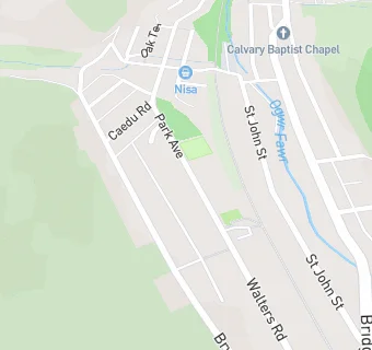
Park Avenue
Ogmore Vale
Ogmore Vale
Wales
CF327DHOgmore Vale
Wales
Welsh establishment
- URN
- 400009
- Establishment type
- Welsh establishment
- Establishment #
- 1020
- OSGB coordinates
- Easting: 293167, Northing: 189952
- GPS coordinates
- Latitude: 51.598, Longitude: -3.5438
- Region › Const. › Ward
- Wales › Ogmore › Ogmore Vale