Pear Tree Primary School closed - academy converter 31. March 2014
redirecting to
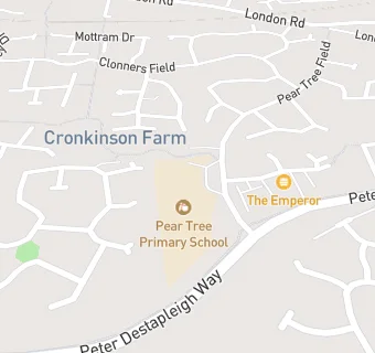
Pear Tree Primary School
Pear Tree Primary School
Pear Tree Field
Stapeley
Nantwich
Cheshire
England
CW57GZNantwich
Cheshire
England
👩🏫 headteacher: Mrs Mary Hennessy-Jones
✉️ reveal email: h…@peartree.cheshire.sch.ukreveal
Primary — Community school
- URN
- 134106
- Education phase
- Primary
- Establishment type
- Community school
- Establishment #
- 2011
- Open date
- 1. September 2003
- Close date
- 31. March 2014
- Reason open
- New Provision
- Reason closed
- Academy Converter
- OSGB coordinates
- Easting: 366167, Northing: 351554
- GPS coordinates
- Latitude: 53.060, Longitude: -2.5063
- Accepting pupils
- 4—11 years old
- Boarders
- No boarders
- Region › Const. › Ward
- North West › Crewe and Nantwich › Nantwich South and Stapeley