Sandfield School closed 31. July 1992
Sandfield School
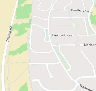
Westminster Drive
Southport
Merseyside
England
PR82QZMerseyside
England
Community special school
- Special classes
- Has Special Classes
- URN
- 127379
- Establishment type
- Community special school
- Establishment #
- 7012
- Close date
- 31. July 1992
- OSGB coordinates
- Easting: 330369, Northing: 411993
- GPS coordinates
- Latitude: 53.600, Longitude: -3.0537
- Boarders
- No boarders
- Region › Const. › Ward
- North West › Southport › Ainsdale