Sands First School closed 1. September 1999
redirecting to
Millbrook Combined School
Sands First School
Lane End Road
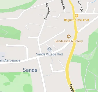
High Wycombe
Buckinghamshire
England
HP124JFBuckinghamshire
England
👩🏫 headteacher: Mrs D Stone
Primary — Community school
- URN
- 110235
- Education phase
- Primary
- Establishment type
- Community school
- Establishment #
- 2051
- Close date
- 1. September 1999
- OSGB coordinates
- Easting: 484081, Northing: 193249
- GPS coordinates
- Latitude: 51.632, Longitude: -0.78659
- Accepting pupils
- 4—7 years old
- Boarders
- No boarders
- Region › Const. › Ward
- South East › Wycombe › Sands