BLOCLSchools

Springfield School closed 31. August 1991

Springfield School
Scotland Lane
Horsforth
West Yorkshire
England
LS71DD

Your feedback   +


Community special school

Special classes
Has Special Classes
URN
128054
Establishment type
Community special school
Establishment #
7019
Close date
31. August 1991
OSGB coordinates
Easting: 423200, Northing: 441500
GPS coordinates
Latitude: 53.869, Longitude: -1.6487
Boarders
No boarders
Region › Const. › Ward
Yorkshire and the Humber › Leeds North West › Otley & Yeadon
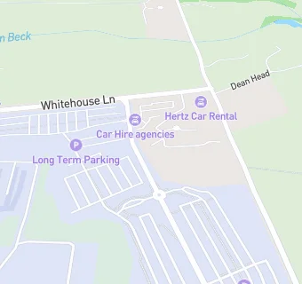
map for Springfield School

Schools nearby

  1. Springfield School, LS71DD
  2. 1.3 miles Cookridge Holy Trinity Church of England Primary School, LS167EZ (406 pupils)
  3. 1.3 miles Holy Trinity CofE Middle School, LS167EZ
  4. 1.3 miles Hilton Grange School, LS185HT
  5. 1.4 miles Leeds Trinity University, LS185HD
  6. 1.4 miles Rufford Park Primary School, LS197QR (325 pupils)
  7. 1.5 miles Yeadon South View Junior School, LS197QR
  8. 1.5 miles Yeadon South View Infant School, LS197QR
  9. 1.5 miles Westbrook Lane Primary School, LS185AH (214 pupils)
  10. 1.6 miles Bramhope Primary School, LS169BR (273 pupils)
  11. 1.6 miles Rawdon St Peter's Church of England Voluntary Controlled Primary School, LS196PP (320 pupils)
  12. 1.6 miles Benton Park School, LS196LX (1496 pupils)
  13. 1.6 miles Bramhope First School, LS169BR
  14. 1.6 miles Bramhope Middle School, LS169BR
  15. 1.6 miles Bramhope Primary School, LS169BR (331 pupils)
  16. 1.7 miles Cookridge Primary School, LS167DH (314 pupils)
  17. 1.7 miles Cookridge First School, LS167DH
  18. 1.8 miles Queensway Primary School, LS197LF (163 pupils)
  19. 1.9 miles Tinshill Primary School, BD193AE
  20. 1.9 miles Ralph Thoresby School, LS167RX (1046 pupils)
  21. 1.9 miles Horsforth School, LS185RF
  22. 1.9 miles Tinshill Middle School, BD193AE
  23. 1.9 miles Leeds Teaching and Learning Centre, BD193AE
  24. 1.9 miles Tinshill Learning Centre, BD193AE
  25. 1.9 miles Horsforth School, LS185RF (1495 pupils)

🚸 schools in Horsforth