St Anne's School closed 15. June 1992
St Anne's School
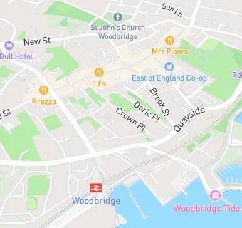
Crown Place
Woodbridge
Suffolk
England
IP121BUSuffolk
England
Other independent school
- URN
- 129995
- Establishment type
- Other independent school
- Establishment #
- 6024
- Close date
- 15. June 1992
- OSGB coordinates
- Easting: 627426, Northing: 248902
- GPS coordinates
- Latitude: 52.092, Longitude: 1.3185
- Boarders
- No boarders
- Region › Const. › Ward
- East of England › Suffolk Coastal › Woodbridge