St Bede's Infant School closed 31. August 1989
St Bede's Infant School
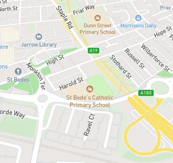
Harold Street
Jarrow
Tyne and Wear
England
NE323AJTyne and Wear
England
Primary — Voluntary aided school
- URN
- 128186
- Education phase
- Primary
- Establishment type
- Voluntary aided school
- Establishment #
- 3310
- Close date
- 31. August 1989
- OSGB coordinates
- Easting: 433120, Northing: 565065
- GPS coordinates
- Latitude: 54.979, Longitude: -1.4841
- Accepting pupils
- 5—7 years old
- Boarders
- No boarders
- Region › Const. › Ward
- North East › Jarrow › Primrose