St Saviour's CofE Junior Mixed and Infant School closed 31. August 1990
St Saviour's CofE Junior Mixed and Infant School
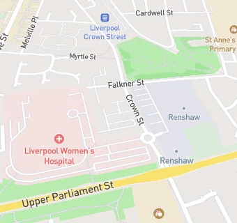
Crown Street
Liverpool
Merseyside
England
L87SAMerseyside
England
Primary — Voluntary controlled school
- URN
- 127287
- Education phase
- Primary
- Establishment type
- Voluntary controlled school
- Establishment #
- 3009
- Close date
- 31. August 1990
- OSGB coordinates
- Easting: 336408, Northing: 389542
- GPS coordinates
- Latitude: 53.399, Longitude: -2.9579
- Accepting pupils
- 5—11 years old
- Boarders
- No boarders
- Region › Const. › Ward
- North West › Liverpool, Riverside › Princes Park