Stanton Under Bardon Community Primary School closed - academy converter 30. September 2013
redirecting to
Stanton Under Bardon Community Primary School
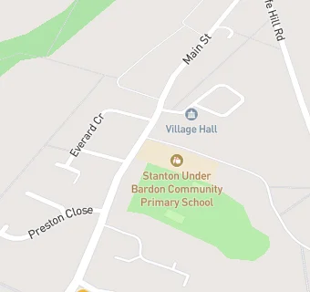
Stanton Under Bardon Community Primary School
Main Street
Stanton-under-Bardon
Coalville
Leicestershire
England
LE679TQCoalville
Leicestershire
England
👩🏫 headteacher: Mrs Frances Baker
Primary — Community school
- URN
- 119938
- Education phase
- Primary
- Establishment type
- Community school
- Establishment #
- 2070
- Close date
- 30. September 2013
- Reason closed
- Academy Converter
- OSGB coordinates
- Easting: 446695, Northing: 310339
- GPS coordinates
- Latitude: 52.689, Longitude: -1.3106
- Accepting pupils
- 4—10 years old
- Boarders
- No boarders
- Region › Const. › Ward
- East Midlands › Bosworth › Markfield, Stanton and Fieldhead