Stapeley Broad Lane CofE Primary School closed - academy converter 31. March 2013
redirecting to
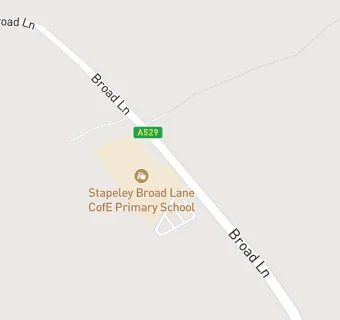
Stapeley Broad Lane CofE Primary School
Stapeley Broad Lane CofE Primary School
Broad Lane
Stapeley
Nantwich
Cheshire
England
CW57QLNantwich
Cheshire
England
👨🏫 headteacher: Mr Ian Shackleton
✉️ reveal email: adm…@stapeleybl.cheshire.sch.ukreveal
Primary — Voluntary controlled school
- URN
- 111269
- Education phase
- Primary
- Religious character
- Church of England
- Establishment type
- Voluntary controlled school
- Establishment #
- 3147
- Close date
- 31. March 2013
- Reason closed
- Academy Converter
- OSGB coordinates
- Easting: 366421, Northing: 350481
- GPS coordinates
- Latitude: 53.051, Longitude: -2.5024
- Accepting pupils
- 4—11 years old
- Boarders
- No boarders
- Diocese
- Diocese of Chester
- Region › Const. › Ward
- North West › Crewe and Nantwich › Nantwich South and Stapeley