The Lodge closed 18. January 2001
The Lodge
The Mansion
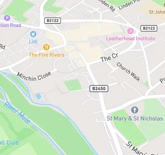
Church Lane
Leatherhead
Surrey
England
KT228DPLeatherhead
Surrey
England
👩🏫 headteacher: Mrs G Allen
Pupil referral unit
- URN
- 124929
- Establishment type
- Pupil referral unit
- Establishment #
- 1114
- Close date
- 18. January 2001
- OSGB coordinates
- Easting: 516612, Northing: 156262
- GPS coordinates
- Latitude: 51.294, Longitude: -0.32895
- Accepting pupils
- 5—18 years old
- Boarders
- No boarders
- Region › Const. › Ward
- South East › Mole Valley › Leatherhead South