Whitton (Aided) School closed 31. December 2015
Whitton (Aided) School
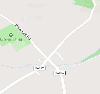
Whitton
Knighton
Powys
Knighton
Wales
LD71NPPowys
Knighton
Wales
Welsh establishment
- URN
- 400564
- Establishment type
- Welsh establishment
- Establishment #
- 3308
- Close date
- 31. December 2015
- Reason closed
- Closure
- OSGB coordinates
- Easting: 327212, Northing: 267295
- GPS coordinates
- Latitude: 52.299, Longitude: -3.0688
- Region › Const. › Ward
- Wales › Brecon and Radnorshire › Llangunllo