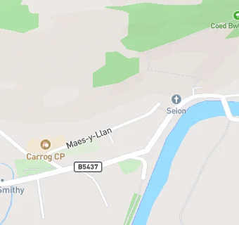
Near Ysgol Gynradd …
- Schools
- 2.4 milesYsgol Caer Drewyn, LL219RT
- 2.9 milesYsgol Bro Elwern, LL219DF
- 3.7 milesYsgol Bro Dyfrdwy, LL210LG
- 5.6 milesYsgol Betws Gwerful Goch, LL219PY
- 6.2 milesYsgol Gynradd Pentrecelyn, LL152HG
- 6.4 milesYsgol Dinas Bran, LL208TG
- 6.5 milesThe Branas School, LL210TA
- 6.8 milesYsgol Cynddelw, LL207HH
- 6.8 milesYsgol Llanarmon Dyffryn Ceiriog, LL207LB
- 6.8 milesYsgol Gymraeg y Gwernant, LL208AR
- 6.8 milesYsgol Carreg Emlyn, LL152AY
- 6.8 milesYsgol Bryn Collen Llangollen, LL208AR
- 7.4 milesYsgol Reoledig Llanfair D.C., LL152RU
- 7.5 milesYsgol Dyffryn Ial, LL113AW
- 9.0 milesBorthyn V.C. Primary School, LL151NT
- Care Facilities
- 0.8 miles★★★★★St Davids Independant Hospital, LL219BG
- 2.0 miles★★★★★Cysgod Y Gaer, LL219AE
- Hotels & BnBs
- 1.6 milesPlas Derwen, LL219EF
- 2.0 miles★★★★★Bron Y Graig Guest House, LL210DR
- Food Trucks
- 2.0 miles★★★★★South Denbighshire Community Partnership, LL210DP
- Catering Services
- 1.7 miles★★★★★Wild Bushcraft Company, LL219BY
- Bars & Nightclubs
- 2.0 miles★★★★★The Royal Oak, LL210DR
- Restaurants & Cafés
- 0.1 miles★★★★★The Grouse Inn, LL219AT
- 2.1 miles★★★★★Cafe Emporium, LL210DR
- Retail Stores
- 0.1 miles★★★★★The Llama Farmers, LL219AP
- 2.0 miles★★★★★Nisa Local, LL210DR
- 2.0 milesCorwen Leisure Centre And Bodyz, LL219RW
- School Food Ratings
- 0.2 miles★★★★★Carrog CP, LL219AN
- Takeaway Shops
- 2.1 miles★★★★★Valley Spice, LL210DE
- 2.1 miles★China Garden, LL210DE
See all schools in Cynwyd
