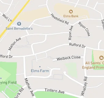
All Saints C E Primary School
All Saints C E Primary School
Rufford Drive
Whitefield
Greater Manchester
M458PLWhitefield
Greater Manchester
Food rating:
★★★★★
5/5 stars
Updated:
Food rating:
★★★★★
5/5 stars
Updated:
See all School Food Ratings in Whitefield.