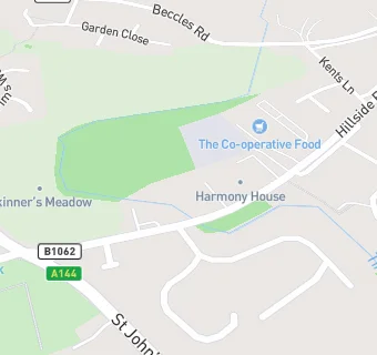
BLOCLEats

Co Operative Food

Rainbow Foodstore
Hillside Road East
Bungay
Suffolk
NR351RX

Food rating: ★★★★★ 5/5 stars
Updated: 9. February 2023

map for Co Operative Food

Near Co Operative …

  1. Supermarkets
  2. 4.9 miles★★★★★Iceland Food Ltd, NR349QB
  3. 5.1 miles★★★★★East Of England Co-op, NR349JD
  4. 5.1 miles★★★★★Lidl, NR349BN
  5. 5.2 miles★★★★★WM Morrison Supermarkets Limited, NR349EJ
  6. 5.2 miles★★★★★Tesco, NR349EJ
  7. 6.1 miles★★★★★Central England Co-operative, NR146EX
  8. 7.0 miles★★★★★East Of England Co-Op, IP209AT
  9. 7.9 miles★★★★★The Co Operative Food, IP198LU
  10. Restaurants & Cafés
  11. ★★★★★The Co Operative Cafe, NR351RX
  12. Retail Stores
  13. 0.3 miles★★★★★Bungay Community Support, NR351EZ
  14. 0.3 miles★★★★A & J Bungay Food & Wine, NR351RR
  15. 0.3 milesWaveney Valley Leisure Centre, NR351FB
  16. School Food Ratings
  17. 0.2 miles★★★★★Kitchen At Castle East School (EAST), NR351JS
  18. 0.4 miles★★★★★Bungay High School & Sixth Form, NR351RW
  19. Doctors
  20. 0.2 milesBungay Medical Practice, NR351LP
  21. 0.2 milesBungay Medical Centre, NR351LP
  22. Schools
  23. 0.3 milesCastle EAST School, NR351JS (78 pupils)
  24. Schools Primary
  25. 0.4 milesBungay Primary School, NR351HA (186 pupils)
  26. 0.5 milesSt Edmund's Catholic Primary School, NR351AY (82 pupils)
  27. 1.2 milesEarsham Church of England Primary Academy, NR352TF (87 pupils)
  28. Schools Secondary
  29. 0.4 milesBungay High School, NR351RW (985 pupils)

See all Supermarkets in Bungay.