Coal and Cotton
Coal and Cotton
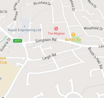
44 Leigh Road
Worsley
M281LRWorsley
Food rating:
★★★★★
5/5 stars
Updated:
Food ratings
Confidence in management: 5
Hygiene: 5
Structural: 5
Food rating:
★★★★★
5/5 stars
Updated:
Food ratings
Confidence in management: 5
Hygiene: 5
Structural: 5
See all Bars & Nightclubs in Leigh.