Dronfield County Infants School
Dronfield County Infants School
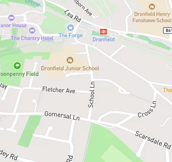
School Lane
Dronfield
S181RYFood rating:
★★★★★
5/5 stars
Updated:
Food rating:
★★★★★
5/5 stars
Updated:
See all School Food Ratings in Dronfield.