BLOCLEats

Duke Of York

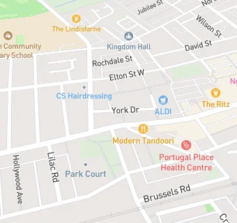
179 High Street West
Wallsend
Tyne And Wear
NE288JD

Food rating: ★★★★★ 5/5 stars
Updated: 12. May 2023

map for Duke Of York

Near Duke Of …

  1. Bars & Nightclubs
  2. 0.1 miles★★★★★The Anchor, NE288HZ
  3. 0.1 miles★★★★★Wallsend RAOB Club And Institute Ltd, NE286RT
  4. 0.1 miles★★★★★Queens Head, NE288HZ
  5. 0.1 miles★★★★★The Ritz, NE288JD
  6. 0.1 miles★★★★★The Ship, NE288JD
  7. 0.2 miles★★★★★Admiral Casino, NE288HU
  8. 0.2 miles★★★★★Lindisfarne Social Club Ltd, NE288LG
  9. 0.3 miles★★★★★The Anson, NE288QS
  10. Care Facilities
  11. 0.1 miles★★★★★UBU, NE286RT
  12. 0.1 miles★★★★★UBU, NE286RT
  13. Catering Services
  14. 0.1 miles★★★★★Hot Roast Deli, NE288HZ
  15. Retail Stores
  16. 0.1 miles★★★★★Geordie Treats, NE288HY
  17. 0.1 miles★★MK Mini Market, NE288HZ
  18. Takeaway Shops
  19. 0.1 miles★★★★Crispy Slice, NE288HY
  20. 0.1 milesJefes Grill, NE288JD
  21. Doctors
  22. 0.1 milesPortugal Place Health Centre, NE286RZ
  23. Schools Primary
  24. 0.2 milesWestern Community Primary School, NE288QL (455 pupils)
  25. 0.2 milesCarville Primary School, NE286AX (184 pupils)
  26. 0.2 milesCarville Primary School, NE286AX
  27. 0.4 milesSt Columba's Catholic Primary School, Wallsend, NE288EN (210 pupils)
  28. 0.6 milesRichardson Dees Primary School, NE287RT (230 pupils)

See all Bars & Nightclubs in Wallsend.