BLOCLEats

H & N Jones

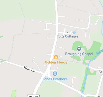
Braughing Post Office
6 Green End
Braughing
Ware
SG112PG

Food rating: ★★★★ 4/5 stars
Updated: 19. January 2017

map for H & N Jones

Near H & …

  1. Retail Stores
  2. 0.5 miles★★★★★Bridget B's @ Pearces Farm Shop, SG99ND
  3. 0.5 miles★★★★★Pearce's Farm Shop & Cafe, SG99ND
  4. 1.3 miles★★★★★Puckeridge Local Store, SG111RN
  5. 1.3 milesRidge House Pharmacy, SG111RN
  6. 1.8 miles★★★★★Days Of Ashwell, SG111LA
  7. 1.8 miles★★★★★Westwoods, SG111LA
  8. 1.8 milesPost Office & Convenience Store, SG111LA
  9. 2.5 milesBuntingford Service Station, SG99JY
  10. Care Facilities
  11. 0.4 miles★★★★★Apple Blossom Pre-School \& Daycare, SG112QL
  12. 0.6 miles★★★★★Highfield Day Nursery, SG112PB
  13. Manufacturers
  14. 1.2 milesMayfly Cider,
  15. Food Trucks
  16. 0.2 milesTwo Sides, SG112PW
  17. Bars & Nightclubs
  18. ★★★★The Golden Fleece, SG112PG
  19. 0.3 miles★★★★★The Brown Bear, SG112QT
  20. 0.3 milesAxe And Compasses, SG112QR
  21. School Food Ratings
  22. 0.3 miles★★★★★Jenyns First School & Nursery, SG112QJ
  23. Schools
  24. 2.4 milesSt Edmund's College, SG111DS (863 pupils)
  25. Schools Middle Deemed Secondary
  26. 1.4 milesRalph Sadleir School, SG111TF (319 pupils)
  27. Schools Primary
  28. 0.3 milesJenyns First School and Nursery, SG112QJ (71 pupils)
  29. 1.4 milesRoger De Clare First CofE School, SG111TF (246 pupils)
  30. 1.5 milesSt Thomas of Canterbury Catholic Primary School, SG111RZ (115 pupils)

See all Retail Stores in Braughing.