Highfield Primary
Highfield Primary
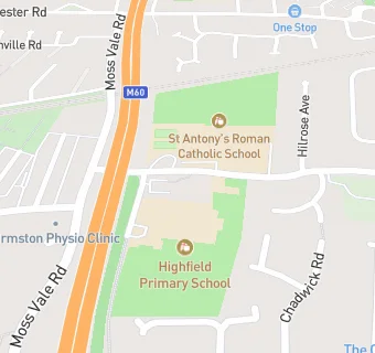
Highfield Primary School
Bridgenorth Avenue
Urmston
Manchester
M419PAUrmston
Manchester
Food rating:
★★★★
4/5 stars
Updated:
Food rating:
★★★★
4/5 stars
Updated:
See all School Food Ratings in Urmston.