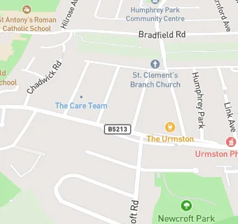
BLOCLEats

The Urmston Hotel

Public House
Stretford Road
Urmston
Manchester
M419WE

Food rating: ★★★★★ 5/5 stars
Updated: 12. December 2022

map for The Urmston Hotel

Near The Urmston …

  1. Bars & Nightclubs
  2. 0.6 miles★★★★★Urmston Mens Club, M419AP
  3. 0.7 miles★★★★★Urmston Masonic Hall, M410XQ
  4. 0.8 miles★★★★★Urmston Conservartive Club, M410TZ
  5. 0.9 miles★★★★★Ashton On Mersey Cricket & Ten, M335GT
  6. 0.9 milesMoss Vale Hotel, M410TA
  7. 1.0 mile★★★★★Ashton on Mersey Golf Club (Bar), M335QQ
  8. 1.0 mile★★★★★Trafford MV Rugby Club, M336LR
  9. 1.0 mile★★★★★Head Bar, M329BH
  10. Care Facilities
  11. 0.2 miles★★★★★Treehouse Childcare, M419PD
  12. 0.4 miles★★★★★Ann Challis, M419LT
  13. Food Trucks
  14. 0.4 miles★★★★★Muffin Man, M419BD
  15. Retail Stores
  16. 0.4 miles★★★★★One Stop, M329PT
  17. Supermarkets
  18. 0.1 miles★★★★★Tesco Stores Limited, M419NU
  19. School Food Ratings
  20. 0.2 miles★★★★Highfield Primary, M419PA
  21. 0.2 miles★★★★★St Antony's Catholic College, M419PD
  22. Chemists
  23. 0.2 milesUrmston Pharmacy, M419NU
  24. Schools Primary
  25. 0.2 milesHighfield Primary School, M419PA (308 pupils)
  26. 0.5 milesMoss Park Primary School, M329HR (464 pupils)
  27. 0.5 milesSt Hugh of Lincoln RC Primary School, M329PD (331 pupils)
  28. Schools Secondary
  29. 0.3 milesSt Antony's Roman Catholic School, a Voluntary Academy, M419PD (699 pupils)
  30. 0.6 milesLostock High School, M329PL (500 pupils)

See all Bars & Nightclubs in Urmston.