Hulland Church Of England (Voluntary Controlled)
Hulland Church Of England (Voluntary Controlled)
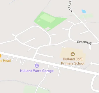
Firs Avenue
Hulland Ward
Derbyshire
DE63FSDerbyshire
Food rating:
★★★★★
5/5 stars
Updated:
Food rating:
★★★★★
5/5 stars
Updated:
See all School Food Ratings in Ashbourne.