BLOCLEats

Killingworth Arms

Killingworth Village
Killingworth
Newcastle Upon Tyne
NE126BL

Food rating: ★★★★★ 5/5 stars
Updated: 22. February 2023

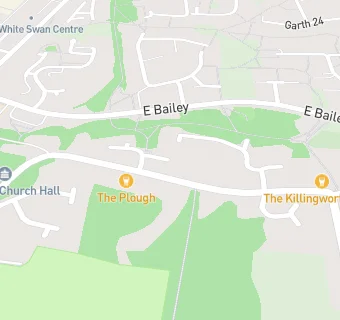
map for Killingworth Arms

Near Killingworth Arms

  1. Bars & Nightclubs
  2. ★★★★★The Plough, NE126BL
  3. 0.3 miles★★★★★Killingworth Social Club And Institute Ltd, NE126UQ
  4. 0.4 miles★★★★★The Clousden Hill, NE127BR
  5. 0.5 miles★★★★★Forest Hall Working Men's Club, NE129DQ
  6. 0.6 miles★★★★★Forest Hall Ex Servicemen Institute, NE129AR
  7. 0.6 miles★★★★★Forest Hall Young People's Club, NE129HW
  8. 0.6 miles★★★★★Ritz Bingo And Social Club, NE127AX
  9. 0.7 miles★★★★★Forest Hall Constitutional And Unionist Club, NE129JN
  10. Care Facilities
  11. 0.3 miles★★★★★Little Cygnets Childcare, NE126SS
  12. Food Trucks
  13. 0.3 miles★★★★★Cafe Cart, NE126SA
  14. Catering Services
  15. 0.3 miles★★★★★Ace Playce, NE126YT
  16. Restaurants & Cafés
  17. 0.2 miles★★★★★Deb's Deli, NE126HT
  18. 0.3 miles★★★★★Cafe My Place, NE126SS
  19. 0.3 miles★★★★★Percy Hedley Foundation, NE127AP
  20. Takeaway Shops
  21. 0.3 miles★★★★★KFC, NE126HA
  22. Doctors
  23. 0.3 milesWhite Swan Surgery, NE126SS
  24. Schools
  25. 0.3 milesPercy Hedley School, NE127BH (155 pupils)
  26. Schools Primary
  27. 0.4 milesAmberley Primary School, NE126SQ (408 pupils)
  28. 0.4 milesSt Marys Catholic Primary School, Forest Hall, NE127AB (203 pupils)
  29. 0.5 milesWestmoor Primary School, NE126SA (334 pupils)
  30. Schools Secondary
  31. 0.2 milesGeorge Stephenson High School, NE126SA (1207 pupils)

See all Bars & Nightclubs in Newcastle upon Tyne.