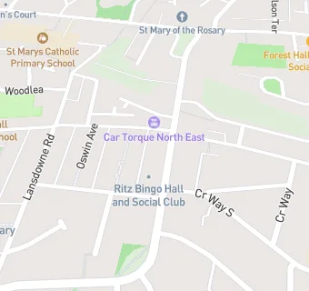
Ritz Bingo And Social Club
Ritz Bingo And Social Club
Ritz Buildings
Forest Hall Road
Forest Hall
Newcastle Upon Tyne
NE127AXForest Hall
Newcastle Upon Tyne
Food rating:
★★★★★
5/5 stars
Updated:
Food rating:
★★★★★
5/5 stars
Updated: