BLOCLEats

League of Friends Shop

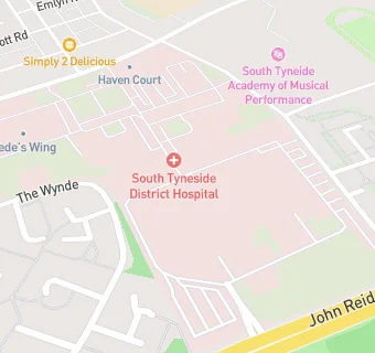
within South Tyneside District Hospital
Harton Lane
South Shields
NE340PL

Food rating: ★★★★★ 5/5 stars
Updated: 31. October 2016

map for League of Friends Shop

Near League of …

  1. Retail Stores
  2. 0.2 milesSA Convenience Store Ltd, NE340PQ
  3. 0.4 miles★★★★★ND's Superstore, NE340NE
  4. 0.4 miles★★★★★Boldon Lane Service Station, NE340NB
  5. 0.5 milesWell Pharmacy, NE348PS
  6. 0.5 miles★★★★Premier Stores, NE348ND
  7. 0.5 miles★★★★★J M & W Darling Ltd (chemist), NE334QY
  8. 0.5 miles★★★★★M I Dickson Ltd, NE340AR
  9. 0.5 miles★★★★★Greens Butchers, NE340AS
  10. Care Facilities
  11. 0.1 miles★★★★★Ashfield Nursery, NE340PL
  12. Food Trucks
  13. 0.2 miles★★★★Talbot News (Best One), NE340RF
  14. Catering Services
  15. 0.2 miles★★★★Brinkburn Community Assoc, NE340PJ
  16. Restaurants & Cafés
  17. 0.1 miles★★★★★South Tyneside District Hospital, NE340PL
  18. 0.1 miles★★★★★Royal Voluntary Service, NE340PL
  19. 0.2 miles★★★★★South Tyneside Council, NE340NL
  20. School Food Ratings
  21. 0.2 miles★★★★★St. Wilfrid's Catholic Academy, NE340PW
  22. Takeaway Shops
  23. 0.2 miles★★★Fire & Feast, NE340RF
  24. Schools
  25. 0.4 milesPark View School, NE340QA (45 pupils)
  26. 0.5 milesAlternative Education Service - The Beacon Centre, NE340QA (62 pupils)
  27. Schools Primary
  28. 0.5 milesAshley Academy, NE340QA (407 pupils)
  29. 0.5 milesSS Peter and Paul Catholic Primary School, South Shields, NE334RH (235 pupils)
  30. Schools Secondary
  31. 0.3 milesSt Wilfrid's RC College, NE340QA (1356 pupils)

See all Retail Stores in South Shields.